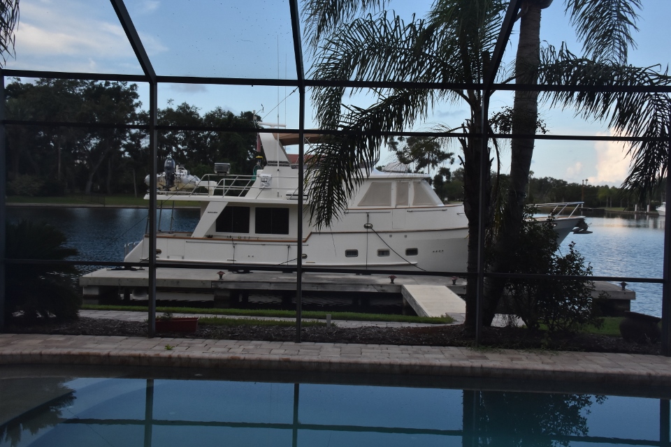
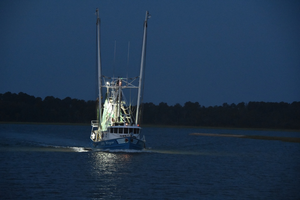
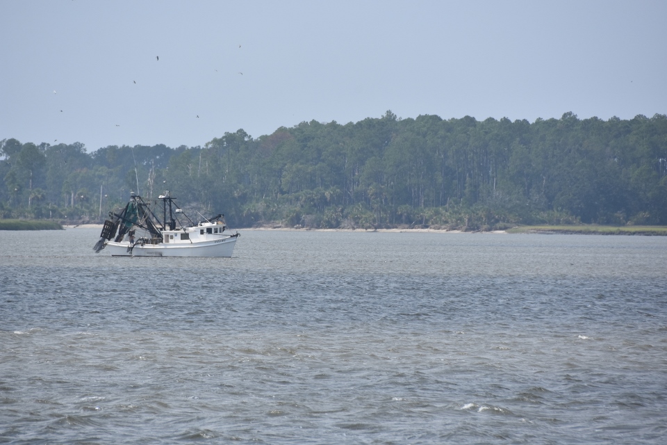
August 20th. After the run through skinny water yesterday we really wanted to run outside to Georgetown. We looked at the three sources we use for weather and found that it was calling for two to three feet, with swells possible to five. Since it hard to know what impact the swells would have on our ride we decided to head out through the Little River inlet and turn south. We prepared Sonas for sea and headed out behind a shrimper and a number of fishing charters. It was really lumpy through the mouth of the inlet because we had a strong outgoing tide with a southwest wind running across it .
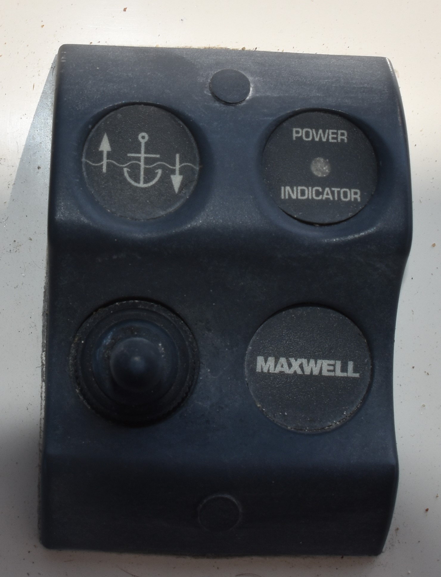
As we were going through that Paul decided to stand up on his seat and have a look at the anchor to make sure it was secured. And it had slipped out a bit (only a foot or two). We clearly hadn’t put the pawl (lock) on it. Sian offered to go onto the bow and fix it but Paul said it was alright , he could use the remote control on the bridge to bring it back in. He pushed the up button and heard more chain running out. Realizing his mistake, being confused by the button indicators, he quick revered and brought the anchor back in. Then he wondered if the anchor had been swinging onto the bow with the wave actions and damaged the gelcoat.
We ran south in really lumpy conditions for a half hour. The GPS indicated that we would be running for another six hours to Georgetown. We decided it was just not worth being uncomfortable for that long and turned around to come back in through the inlet. We then turned south again on the ICW.
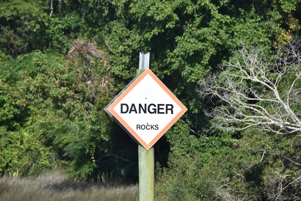
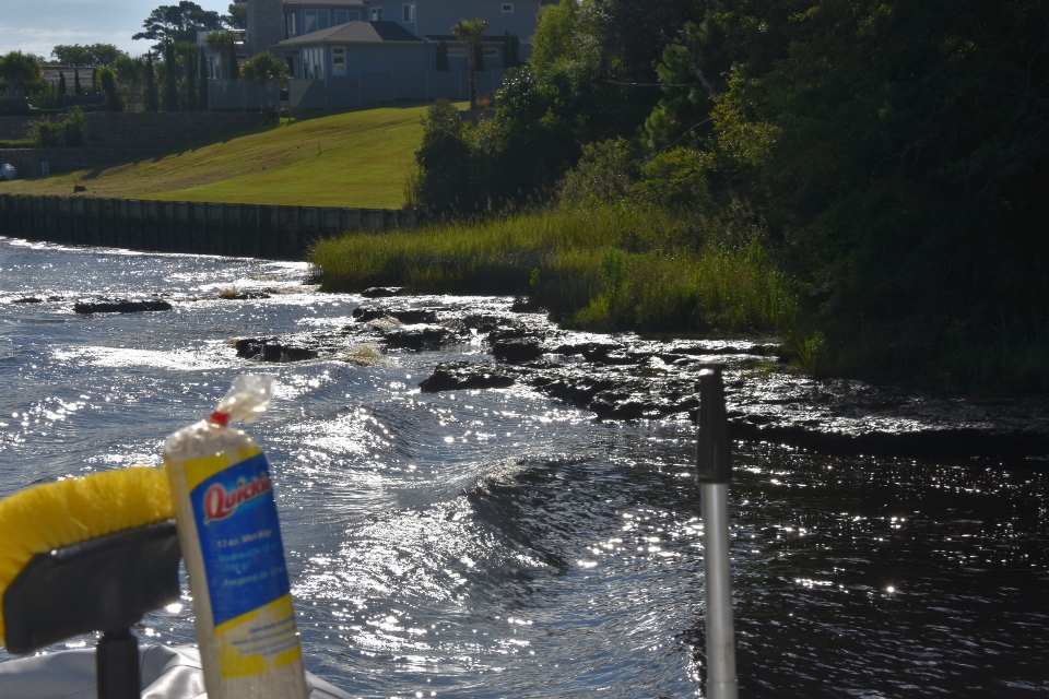
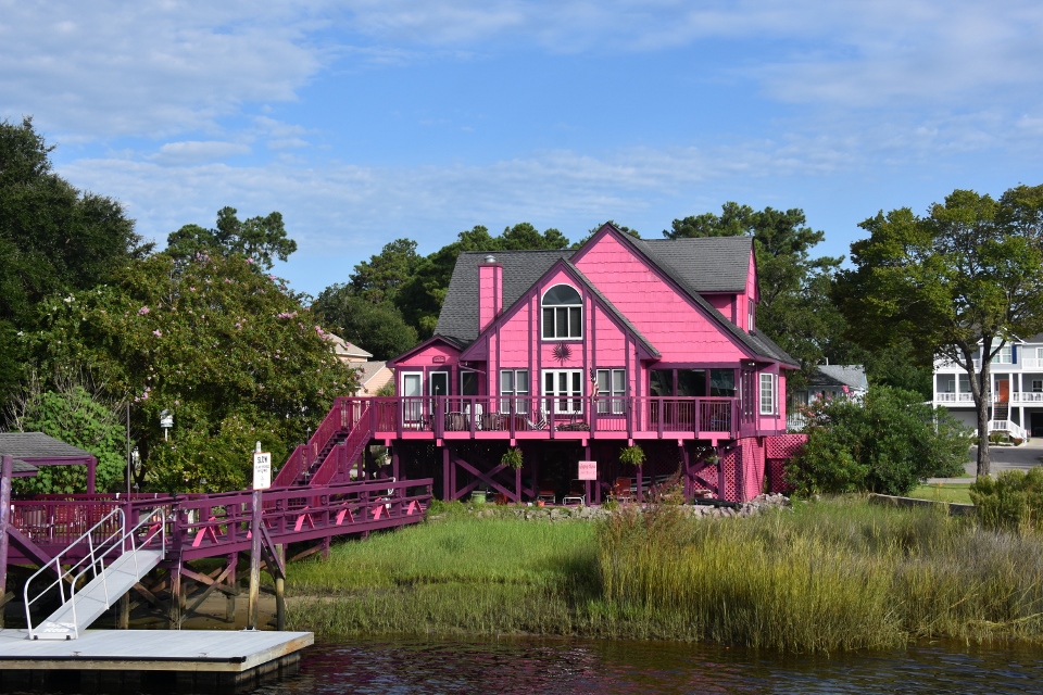
We went through Myrtle Beach, which seemed to go on forever, and because it was low tide we again had areas, mainly where there were small inlets into the sea or marshes where there was very skinny water. We had now realized that this was because it had been blowing hard from the south for at least a week and the water had been blown out of the ICW in places. One three mile stretch, ,formally known as Pine Island Cut, but locally known as Rock Pile, is cut out of rocks and the cruising guides quite accurately advise you to keep to the middle, lest you need the services of prop and strut businesses that have grown up nearby!
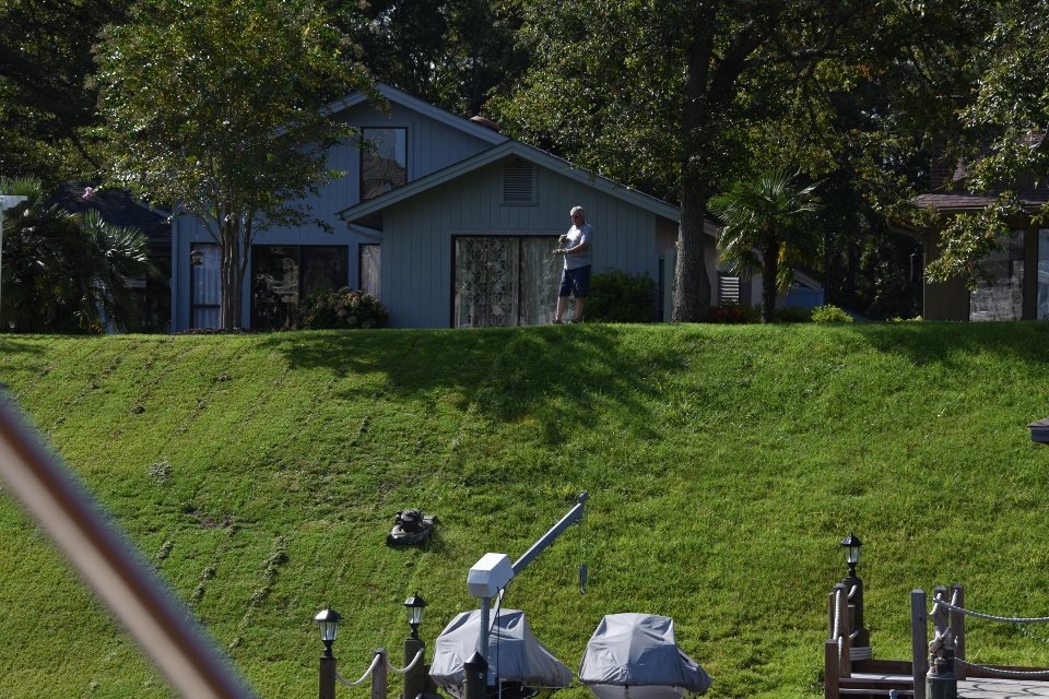
Also on this stretch we saw some interestingly painted houses and, given the steepness of the backyards wondered how on earth they cut them. Then we saw a gentleman cutting his lawn, with a mower on a rope!
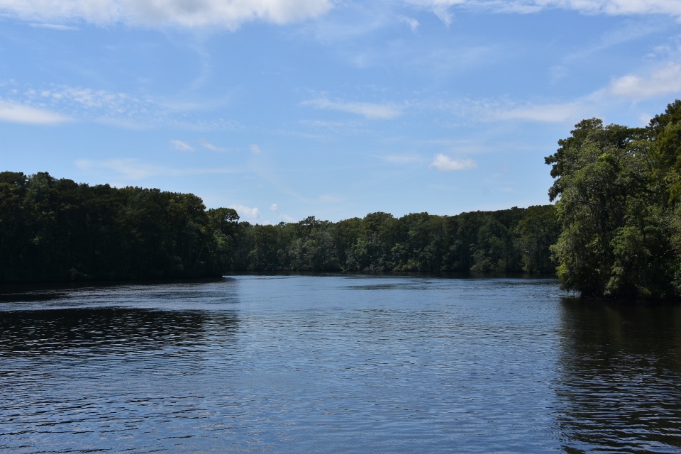
We then hit the Waccamaw River and had a very enjoyable ride through the Waccamaw State Park, with its lush trees and vegetation.
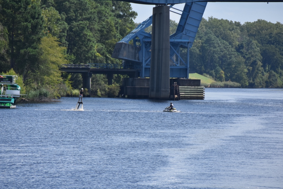
We also saw an individual with one of those “jet packs” driven by a jet ski!
Exiting the park we looked at where we were on the run and decided to tack on another two hours to make our run to Charleston tomorrow a short one. We targeted a couple of anchorages on the Minims River. The one to the West of the ICW had decent reviews on the Waterway Guide so we opted for that. We got to the anchorage and found crab pots all the way up the middle of the anchorage. We picked a spot between two pots and dropped the anchor. We had the wind and tide against each other which pushed Sonas sideways across the anchorage and near the crab pots. After waiting to see if it would sort itself out we finally gave up and went across to the anchorage to the east of the ICW. Here there was little current, wind protection from a stand of trees AND what crab pots there were, were placed along the edge. It turned out to be a very safe and peaceful anchorage.
August 21st
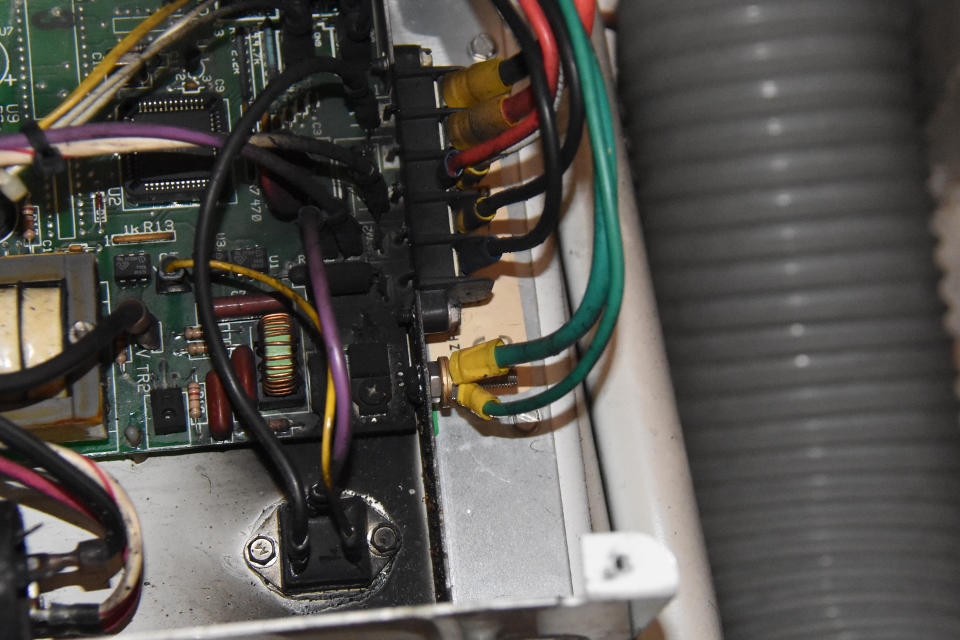
We awoke today to find that our AC was out in the salon. We usually leave it on at night but raise the temperature to 74. The breaker was also off. Paul reset the breaker but there was still no power coming to the control pad. We had a spare pad so he switch them out and still no power. So this issue must be with the AC unit itself. Paul went below and had a quick look to see if he could find a breaker on the AC unit itself with no success.
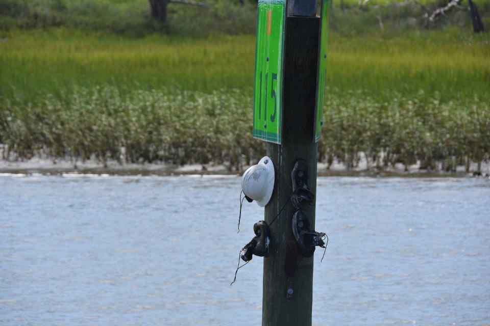
Our anchorage was at mile marker 415, and Charleston City Marina was at mile marker 469, so we only had 54 statute miles, or 46 nautical miles to go today. Again we were running along at low tide so had to be very mindful of the depth sounder. We had a few spots where we had to pull back on the throttles and zig-zag a bit until we found better depth, but we made it out into Charleston Sound safely, watching the big ships pass by first, and made our way west of Fort Sumpter and into the Ashley River. On our way down we often saw hardhats and other stuff mailed to markers. We had read somewhere that there were in memorial to someone who worked the waterways and had died. [Though also see comment from David below].
Earlier the Coast Guard had warned us that one of their cutters was doing diving exercises by the Coast Guard station and to pass with caution. The Coast Guard station is right before the marina, so we went to idle as we passed, and saw the divers in the water.

During the morning Paul called the Charleston City Dock and requested an AC tech. We got tied up on the marina’s Mega Dock and checked in. Paul then went into the Charleston City Dock mobile office right on the marina and filled in the order form for the AC Tech. He would be coming to look at the system at 9:00 tomorrow morning.
We called Stella’s Greek restaurant and tried to book a table for this evening but they were fully booked. At 6:30 we got the marina shuttle into the restaurant and took one of their walk-in tables on the back patio. The food and wine were fine, unfortunately there was no breeze on the patio and the single wall fan wasn’t much help, so we were quite hot out there.
Thankfully when we got back to Sonas there was a cool breeze blowing across the cockpit so we were able to sit outside rather than in the stuffy salon.
August 22nd
We had a walking tour booked for today starting at 10:30, so we would have to be away from the marina at 10. We were hoping that the AC tech would be on time and would be able to diagnose the issue in time for us to go on the tour. By 10 the tech still had not showed so we went to the yard office and left the key for them, and we took the marina shuttle to the tour starting place in Washington Park.
The very interesting walking tour lasted two hours and fifteen minutes and covered the original walled city as well as the “new” area down by the harbor. The lady giving the tour was a Charlestonian and her family had been there for over two hundred years. She was very knowledgeable, and seemed to know everyone we passed!
Midway through the tour the yard called and advised us that the AC unit, the capacitor, the evaparator, the compressor and the mother board, was dead. So I sent an email to my Florida mechanic asking if he could send someone over after we get back next week to put in a new one.
We had lunch at Cru, right on the corner of Motely Street, a very popular Charleston lunch spot. Afterwards we walked over to Harris Teeter for some fresh veggies before calling the marina shuttle and going back to Sonas.
When we got back to Sonas we had a bit of a surprise, the salon AC was on and blasting lots of cool air! Paul sent a text to the yard guy saying “OK, you got me!” He replied with a “???” He wasn’t in his office the rest of the afternoon so finally we connected by phone. He was as surprised as we were that the AC was running. His AC tech had told him that is was dead, that he could get it started but because of the amps it was trying to pull and the bad capacitor, it would not restart. He assumed that the tech got it started one more time and left it for us. We told him that we were going out to dinner but would not leave the air running when we not there just in case, We would turn it off at the breaker when we left and then try and restart it when we got back. He told us to let him know what happened
We turned off the AC and got the shuttle into Slightly North Of Broad (SNOB) for dinner.
A little anecdote on SNOB. Many US cities have a rail line running through them. And the cities are divided into the “other side of the track,” meaning there is a good part of the city and a not so good part. Charleston does not have a rail line through the city, but Broad Street does divide the city. It was the case that South of Broad was the “nice” part and North of Broad not so nice. When this restaurant set up it was Slightly North Of Broad – so called itself that, otherwise known as SNOB, to thumb their nose at the South side of Broad!
We had a wonderful meal with Jenna as our waitress. Afterwards we got an Uber back to Sonas.
While Paul went below to watch the faulty AC unit, Sian switched it on at the breaker. And it started up with no issues! It remained on and delivered cool air for the rest of the evening. Paul sent a text to the boat yard manager asking him for a full write up on the issue and what was done to the unit so that our own mechanics can have a good starting point when we get back. For safety reasons we tuned off the unit before bunking down.
August 23rd
In the hope of running outside we again checked our weather sources. It still did not look good, so we opted to stay in the ICW again. We had an easy run south from Charleston, passing Briney Bug in the anchorage (we first saw her in Deltaville on the Chesapeake), through Beaufort (pronounced BEWfort, whereas the NC version is pronounced BOWfort), past Parris Island, which is the boot camp for the US Marines, and towards Hilton Head Island.

Along the way we saw dozens of dolphins, sometimes in large pods. At one stage we had three or four jumping on the starboard side of the boat and at the same time three or four jumping on the port side – quite the escort on our way home. We even had a group playing off the back of Sonas after we anchored! We also noticed that the tidal drop up this way is a lot larger than in the Chesapeake and even in Florida.

We arrived at the anchorage in Skull Creek, Hilton Head around four. Paul had a quick look on Google Maps to see what was around and we saw that there was a ClubCorp country club about a half mile away! Because our own country club is owned by them we get to use the facilities AND get a free entrée due to our membership level! We were sorely tempted to launch the dinghy and go in, but then decided to just relax and enjoy the anchorage since we just had a couple of evenings in Charleston!
After we started the generator Paul went into the lazarette and watched the salon AC unit again as Sian turned it on – it started without issue and ran fine! What the heck is going on?
August 24th
As Sian was preparing the flybridge to get underway a large shrimper passed us very close! She grabbed a quick photo.
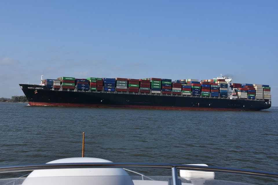
After lifting the anchor this morning Sian turned around with a smile on her face – no mud, we were back in the country of soft sand! We headed south again through Hilton Head and down to the Savannah River. As we approached we could see the huge container ships going both ways on the river. As we got to the ICW-Savannah River intersection we had a ship crossing in front of us going downriver. We held Sonas steady inside the ICW as the big ship passed, before running quickly across and back into the ICW.
We ran through Wilmington Island, Skidaway Island, Ossabaw Island, and then across St Catherine Sound, where the wind was howling and the chop pretty substantial.
Running through St Catherine’s Sound:
After transiting St Catherine Island we were passed by a Tow Boat US boat, who later hailed us on 16 asking for a slow pass around the next corner. When we got there we saw them successfully dragging a sailboat off a shoal. We turned for our anchorage for the night, to see a shrimper had also tucked himself in there waiting the winds to die. We passed them and went a further half mile up the Wahoo River to shelter behind a stand of trees.
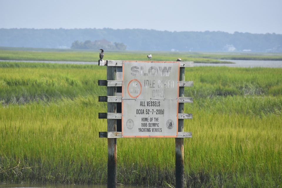
One thing worth mentioning is that we passed quite a number of “Slow, No Wake” signs put up by residents or marinas, not the Coast Guard (CG signs have the Code of Federal Regulations (CFR) number at the bottom). What was different about these signs was that they referenced the state code about obeying all CG posted signs while not official signs themselves – a cute way of making boaters think that they were official signs! Most of them were so old that they were illegible anyway.
We haven’t had rain for months and Sonas was getting a bit “dusty,” so Paul broke out the boat bucket and hauled in water to swab the decks. Not the perfect job, more of a “lick and a promise” as we say in Ireland!
We are anchored at Mile Marker 630, on the Wahoo River, tomorrow’s stop will be at the anchorage of Cumberland Island, Mile Marker 711. Then by Sunday lunchtime we will complete our journey at home, Mile Marker 742!
August 25th
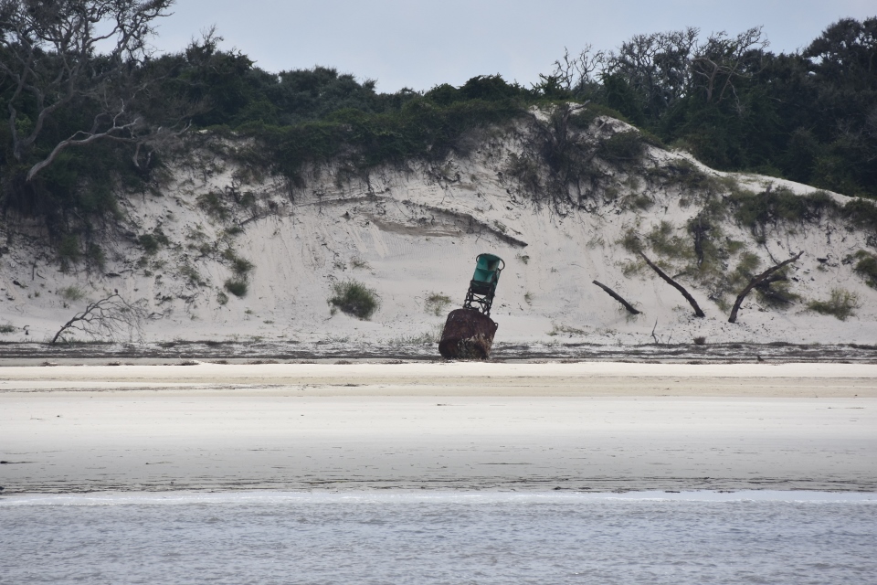
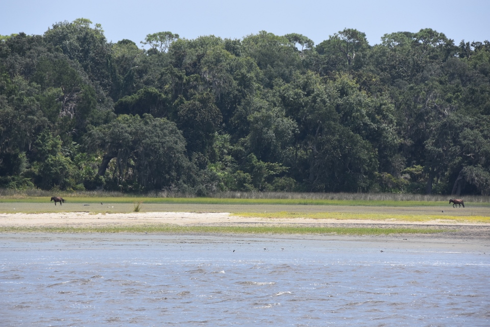
We were off again shorthly after 7:00. Headed south across Sapelo Sound, down the Mud River and across Doboys Sound, past Wolf Island and then across Altamaha Sound. This took us to the inside run to the West of St Simons Island, across St Simons Sound, and down through the very skinny water of Jekyll Island. After Jekyll we had to head out into the Atlantic for a bit to pass the shoaling in St Andrew Sound, which took us to Cumberland Island. Even from the ICW side you can see the beauty of this island. It is also a surprisingly long island, taking over 20 miles to pass! We saw a large buoy washed up on the island, probably from a recent hurricane. We also got to watch some of the wild horses grazing.
As we came near the south end of the island we came to a really shallow area where we intersect with the Brickhill River. The markers were really confusing and we slowed to go through. Just as well as we softly bumped the sand. We reversed off and got around the corner. We passed the submarine base at Kings Bay and approached our planed anchorage off Cumberland Island.
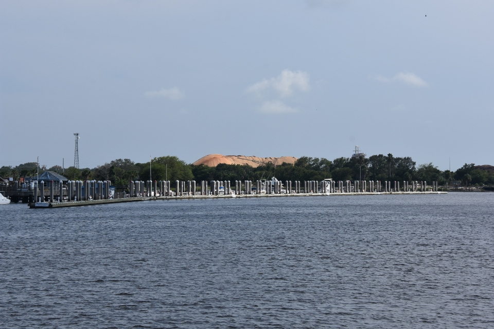
It was only three o’clock and we were about three and a half hours from home. It had been an easy enough run today so we decided to carry on. As we crossed Cumberland Sound towards Fernandina we decided to see if they had a tie-up for us where we could go in for dinner and maybe stay there for the night. The city marina there was badly damaged by Hurricane Matthew but we had heard that they had some spaces now open. When we hailed them they informed us that they only had four spaces and only for boats 45 feet and under. So we continued on.

We approached the home port lock at Queen’s Harbour at 7:15 and hailed for a lock in., to be told that there was another boat in the lock and we would have to wait. A two thousand mile round trip, and we had to wait another 20 minutes!!
But we were home!
Great story!
The hard hats nailed to the markers are generally put there by a departing OIC, (Officer in Charge of an ANT, or Aid to Navigation station), as he moves on or retires from the CG. I’ve helped put a couple up locally!